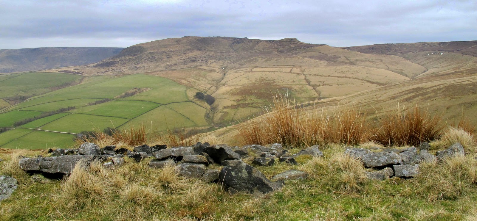
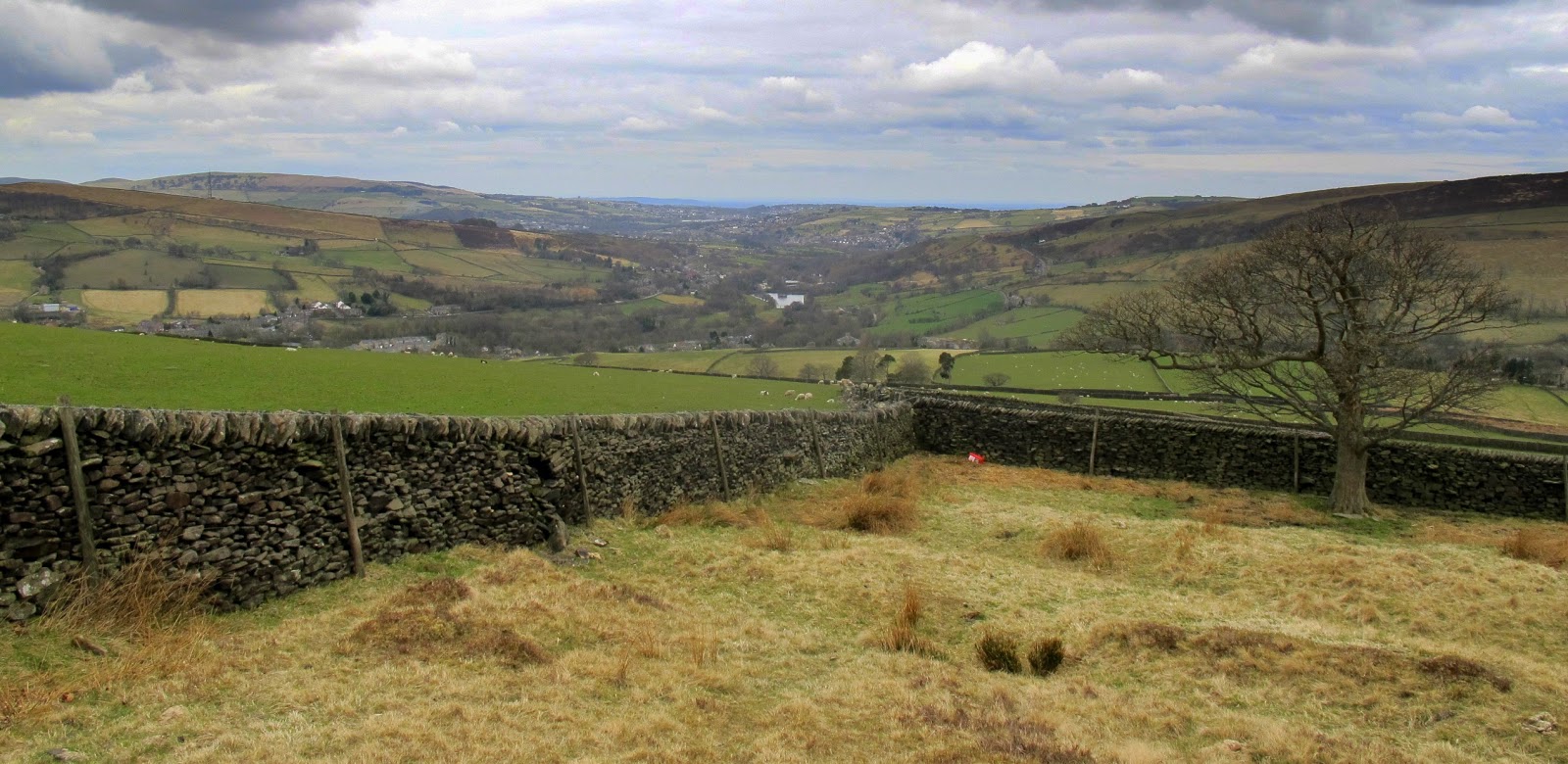
Setting off from Hayfield for the walk up to South Head and then up to the peak of Mount Famine for views over to Manchester & beyond. Then back towards Kinder Scout but then turning down the valley & back to my campsite.
Following the travels of a 2011 Brazilian Volkswagen Type 2 camper van around the UK. Zoom in/out on the map to see where we have visited. Click on the marker to find the link direct to that page. I will be adding more and more of my locations from the last few years over the coming weeks.
Monday, 22 April 2013
New Mills
New Mills in Derbyshire stands above the Torrs, a 70 feet (21 m) deep gorge, cut through Woodhead Hill Sandstone of the Carboniferous period. The town had a number of cotton & printing mills using the water supply of the river for washing the cotton and for powering machinery.
Kinder Reservoir & Snake Path
Sunday
A gentle walk up to and alongside Kinder Reservoir as far as William Clough (as climbed on yesterdays walk) & then heading back to Hayfield along the Snake Path.
Sunday, 21 April 2013
Kinder Downfall circular walk
Taking advantage of a great sunny day I was able to pitch up early at my camp-site and head out for a walk I have been wanting to do for some time. For the last 2 years I have starred out from my Manchester flat window towards the peak district and its highest point on Kinder Scout. Today's walk allowed me to look back towards a distant Manchester city centre from the peaks instead. Visibility was not great so there are no photos showing Manchester. On a clear day you can see past Manchester & as far as Snowdonia.
Kinder Scout is actually a flat moorland plateau 636 metre above sea level with its western edge featuring dramatic edges and the Kinder Downfall waterfall. The 30m waterfall is often no more than just a trickle of water (as today) but after heavy rain is much stronger flow. Although an impressive sight its tricky to convey in any photographs. The last few photos show great views looking back up towards the western edge of Kinder Scout and downfall showing the route of the walk along the top edge,
Subscribe to:
Posts (Atom)