It is the highest point in the historic county of Cheshire, and now lies on the border between the boroughs of Kirklees in West Yorkshire and High Peak in Derbyshire, reaching 582 metres (1,909 ft) above sea level.
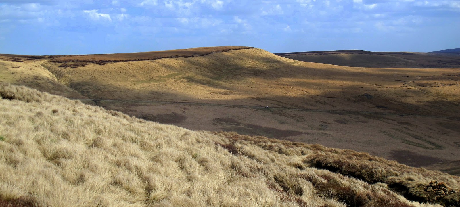
The top is peaty and thus very boggy after rain. The area surrounding the summit itself had virtually no vegetation and was very dark, giving the hill an appropriate name. However, recent restoration work has eliminated much of the exposed peat. Black Hill is crossed by the Pennine Way whose now-paved surface allows walkers to reach the top dry-shod even in the wettest of weather.
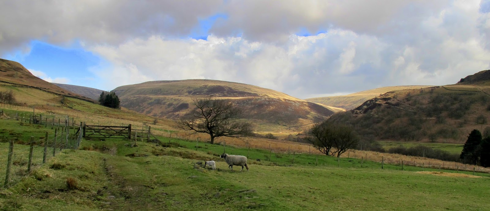
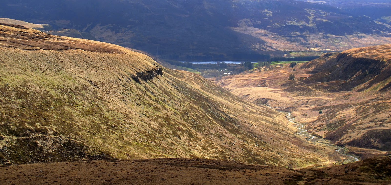
Then a tough walk along a vague and sometimes non existent path through the peat and bogs to the top of hey edge for views over the Torside & Woodhead reservoirs.


No comments:
Post a Comment