The Lowther Hills, also sometimes known as the Lowthers, are an extensive area of hill country in the Southern Uplands. The Mennock Pass carries the B797 which runs from the small village of Mennock to Abington near the M74, passing through the villages of Wanlockhead and Leadhills. The B797 reaches to a height of 467 metres as it leaves Wanlockhead - which is the highest village in Scotland.


The Devil's Beef Tub, (Marquis of Annandale's Beef-Tub, Beef-Stand, MacCleran's Loup) is a deep, dramatic hollow in the hills north of the Scottish town of Moffat. The 500-foot (150 m) deep hollow is formed by four hills, Great Hill, Peat Knowe, Annanhead Hill, and Ericstane Hill. It is one of the two main sources of the River Annan.
The unusual name derives from its use by the Border Reivers, namely the Johnstone clan, whose enemies referred to them as "devils", to hide stolen cattle; it is also called Marquis of Annandale's Beef-Tub (or Beef-Stand) after the Lord of Annandale, chief of the raiding "loons" (here meaning "lads", rather than "lunatics"); the name may also refer to the resemblance the valley bears to a tub used for preserving meat


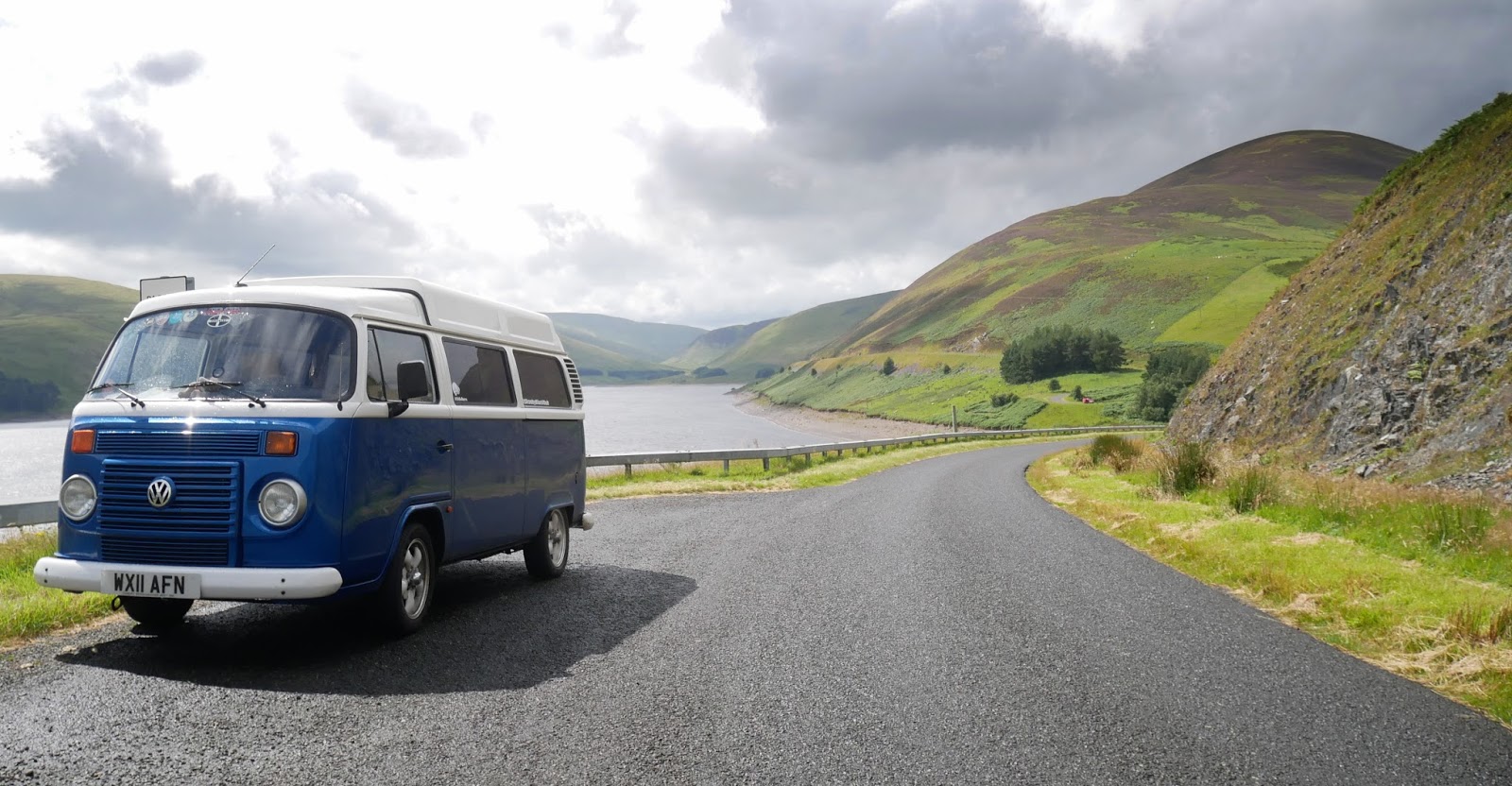
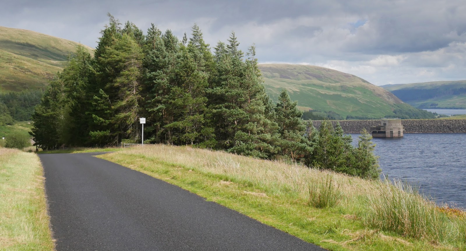
Megget Reservoir in the Megget valley in Ettrick Forest. The 259 hectares (640 acres) reservoir is held back by the largest earth dam in Scotland. The reservoir collects water from the Tweedsmuir Hills, which is then conveyed 28 miles (45 km) via pipelines to Edinburgh.


No comments:
Post a Comment