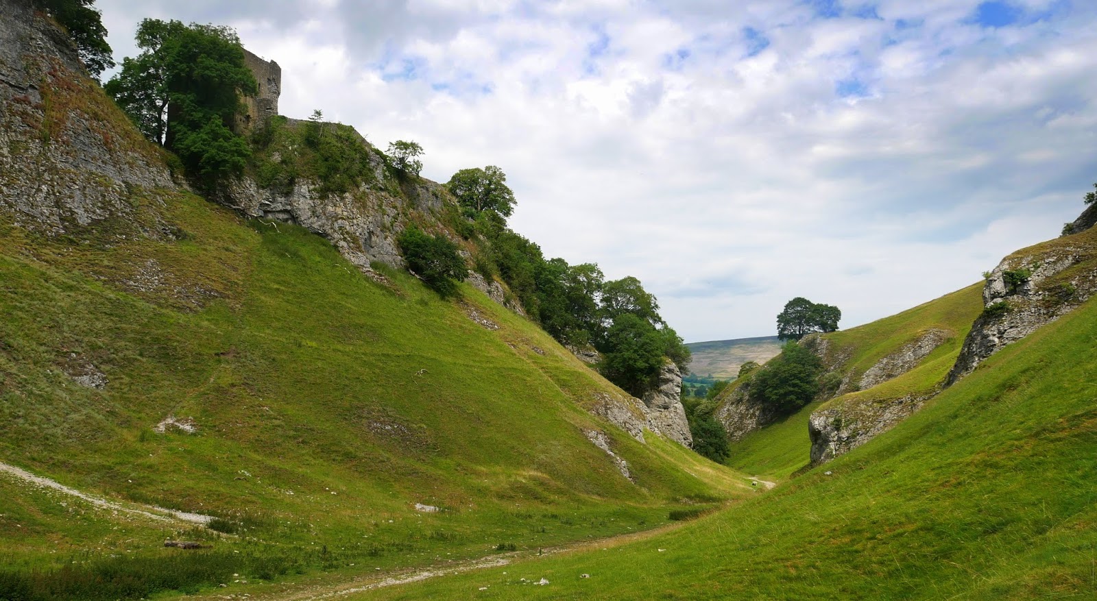
Castleton is situated between the gritstone plateau of the Dark Peak (Northern Peak District) to the north and the gentler limestone scenery of the White Peak to the south. It lies at the western end of the Hope Valley and consequently is surrounded on three sides by hills. Most prominent is the ridge to the north. This is called Great Ridge; it runs east from Mam Tor to Back Tor and Lose Hill, via the pass (hause) of Hollins Cross, where paths from many directions converge and cross over to Edale.
Views towards Mam Tor show the shale landslips.


No comments:
Post a Comment